

Quick Stats
Distance: 2300 miles
States: North Dakota (ND), South Dakota (SD), Nebraska (NE), Kansas (KS), Oklahoma (OK), Texas (TX)
Highlights: Badlands, Mt. Rushmore, Hot Spring SD, Big Texan Steakhouse, Alpine TX, middle America farm towns, random backroads, Enchanted Rock
Main Highways: I-90 SD, 83 SD, 385 SD/NE/TX, 183 NE/KS, I-40 OK/TX, Route 66 OK/TX, 67 TX, I-10 TX
Summary: Sprawling road trip from Bismarck, North Dakota to San Antonio, Texas touches six states, including an epic national park, one of the most recognized national monuments, tons of “Main Street America” towns and some eye opening random discoveries. Overall, a fascinating and nostalgic slice of a portion of the American Heartland.
Bismarck
Unfortunately the starting point for the road trip, Bismarck (pop. 75,000), was covered in rain. But before the storm I was able to get a pic of the 21-story Art Deco North Dakota State Capitol, the tallest building in the state. In reading more about Bismarck, I found it is the only state capital named after a foreign statesmen (Otto Van Bismarck) in order to attract German settlers to the area and German investment in the newly formed Northern Pacific Railroad in the 1870’s. The discovery of gold in the Black Hills of South Dakota in 1874 stimulated more growth.
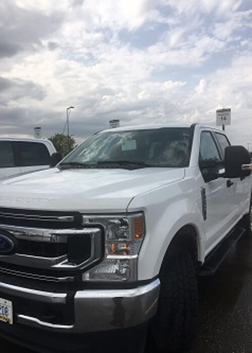
My rig to blend in with locals, the Ford F-250, one of most popular pickups for the states I’ll be covering
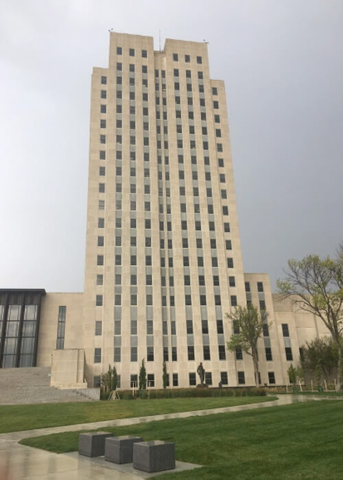
Capitol of North Dakota in Bismarck… most minimalist capitol building in country?
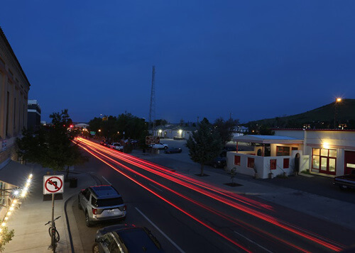
Bismarck to Pierre
Rather than seeing more of Bismarck in the downpour, I decided to head south to the night’s destination: Pierre, the capital of South Dakota. While I was expecting nothing but sparse flatlands on the route, I found some road scenery on the way.
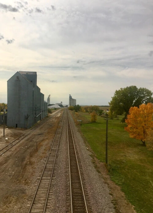
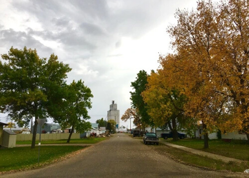
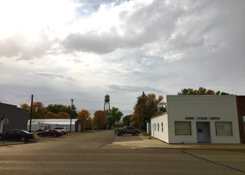
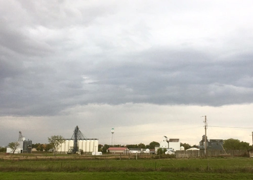
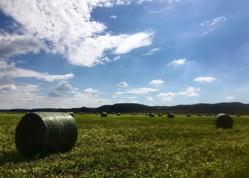
The 200 mile stretch on Highway 83 from Sterling to Pierre through the northern Great Plains covered low rolling grasslands, sunflower fields, and tiny agriculture-based towns (most with under 1000 people). North Dakota and South Dakota rank 4th and 5th, respectively, as the least-densely populated states. This is small town America, big time! Linton, with 1100 people, ranks in the top 12% of most populated cities in North Dakota.
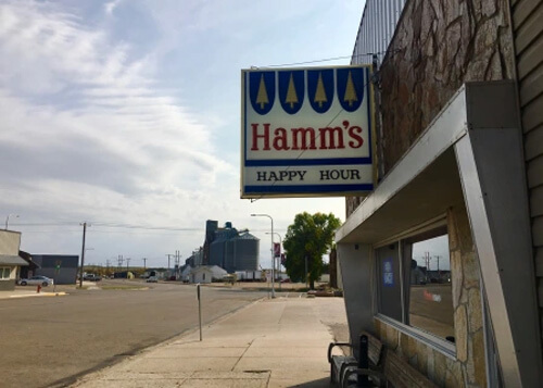
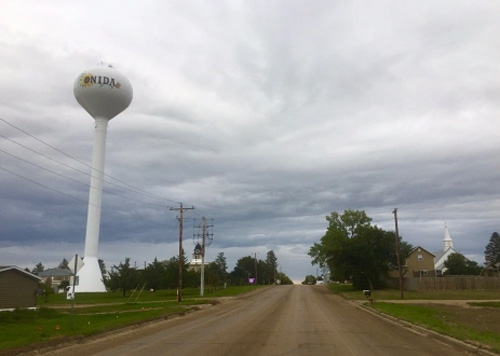
Towns like Hazelton, Mound City, Linton, Herreid, Agar and Onida all have their water towers, grain processing plants and post-work dive bars (one had a Hamm’s sign!). Most of these towns came into being shortly after North and South Dakota were formed from the Dakota Territory in 1889, which had been acquired in the Louisiana Purchase in 1803.
Fall color in Sterling (pop. 125), North Dakota
Entering South Dakota on Highway 83
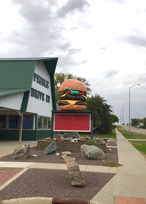
Giant cheeseburger in Herreid, South Dakota
Near Hazelton (pop. 235), North Dakota
Linton (pop. 1000), North Dakota
South Dakota border, Highway 83
Pierre
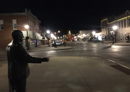
With 12,000 residents, Pierre is the second-least populated capital city in the US (Montpelier, Vermont is the least with 7500). Pierre sits on the Missouri River, and it’s worth spending a couple hours here checking out the downtown area and the South Dakota State Capitol Building (1905). Unlike the minimalist North Dakota Capitol Building, South Dakota’s is a more traditional looking Renaissance Revival building with Greek columns and a rotunda. In downtown Pierre there are statues of four state governors as part of the Trail of Governors memorial (they look real, and will fool you at night) and the obligatory memorabilia-filled steakhouse Mad Mary’s.
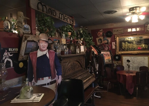
Mad Mary’s Steakhouse, Pierre, SD. The cardboard John Wayne is the same one I saw at El Rancho Hotel in Gallup, NM, while on the “Hermosa Beach to Albuquerque” road trip
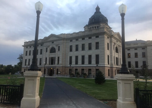
South Dakota State Capitol in Pierre, South Dakota
Trail of Governors and downtown Pierre, SD
Badlands National Park
Exploring Badlands National Park gives the sense of being on another planet with its lunar-like landscapes of pinnacles, spires, canyons and buttes. There are a ton of short hikes here to wander into the surreal canyons. After researching them all, I decided to do the Notch Trail. It has a little bit everything (including a ladder climb up a ridge) and can be done in under an hour. Many of the rocks are over 500 million years old, and the erosion began about 500,000 years ago. Though there are a ton of fossils here, I didn’t see any. But I was lucky enough though to see some bighorn sheep on the trail…
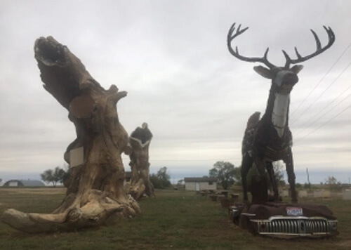
Scrappy the Deer made of car parts, Kadoka (pop. 750), South Dakota, outside Badlands National Park
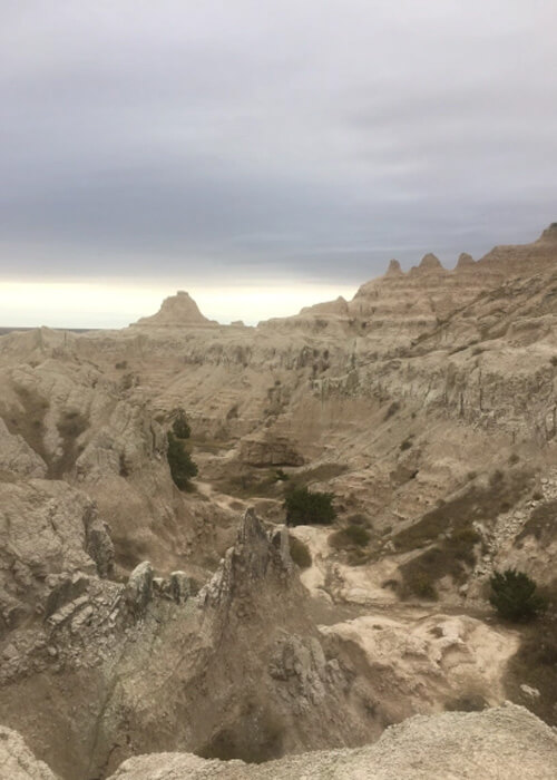
Badlands, South Dakota
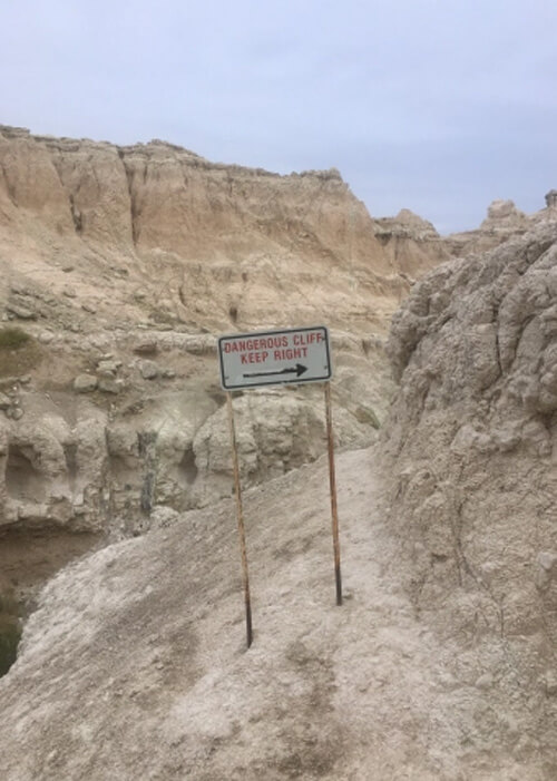
Notch Trail, Badlands, South Dakota
Sturgis
After leaving Badlands I checked out the trusty map and saw that Sturgis, home of the famous motorcycle rally every August, was only a half hour away. I pulled into town and happened to find a parking spot in front of the Motorcycle Museum and Hall of Fame. Next thing I knew I was exploring all the bikes and reading the history on all the display cards. Whether you’re a bike enthusiast or not, I definitely recommend checking it out for the vintage bikes (one from 1910) and eye-catching art on the walls. There are also souped-up bikes from the Biker Build-Off show and curios like a 1965 Harley Davidson scooter.

The FN Four, the first production motorcycle (1910), Motorcycle Hall of Fame, Sturgis, South Dakota
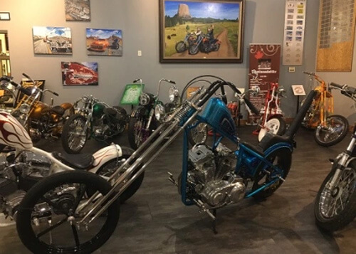
Custom chopper, Motorcycle Hall of Fame, Stugis, South Dakota
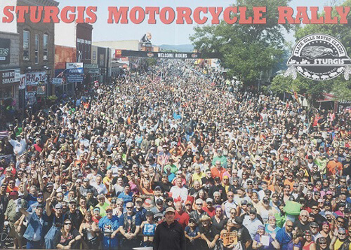
Wall-sized photo in Sturgis, South Dakota…I’m in here at bottom.
Deadwood
Tucked in the Black Hills is the wild west town of Black Hills (pop. 1300), which deserved more time than I had. One of the most famous gold rush towns in the US, at one time its population was over 25,000, and the likes of Wyatt Earp, Calamity Jane and Wild Bill Hickock lived here. The entire town is designated a National Historic Landmark, and the town’s wild history was the subject of an HBO series. The town has a ton of old west buildings, saloons, ghost tours, and of course a cemetery on a hill where many of its famous residents are buried.
Deadwood, South Dakota
Mount Rushmore
Like that classic scene in Vacation, you work your way through the entry gates, pay your parking, scramble in between tourists (over 2 million a year), stare for five minutes, get your photo, then turn around. While doing some research on Rushmore, I found there is a “secret chamber” behind the presidents’ heads (which the public cannot access…) which is used to store historical records and is also a subject of conspiracy theories…
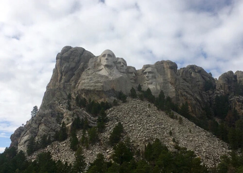
Mount Rushmore, South Dakota
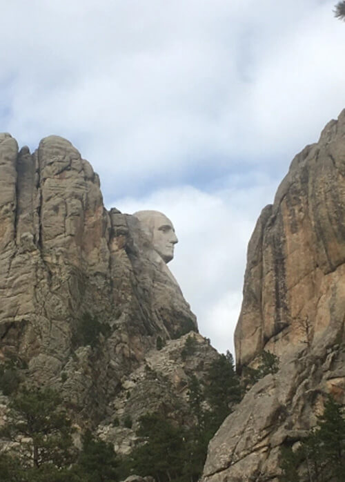
George Washington profile view from outside Mount Rushmore visitor area, South Dakota
Custer State Park
South of Rushmore, Custer State Park is worth checking out for a few hours for the Black Hills scenery and wandering buffalo. I was lucky to see some Fall color here, and did a mellow hike called the Prairie Trail.
Custer State Park, South Dakota
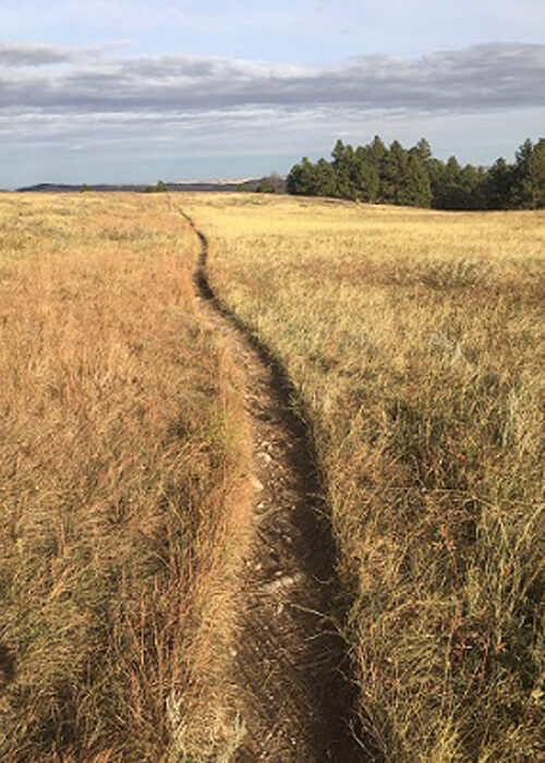
Prairie Trail, Custer State Park, SD
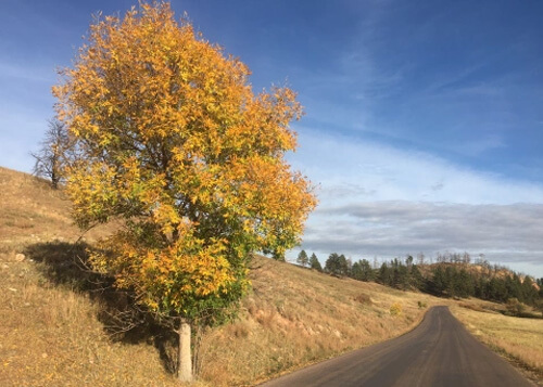
The 1000 Mile Stretch
As opposed to Deadwood and Rushmore, which get tons of tourists, after leaving Custer I began an extended stretch south through Nebraska, Kansas and Oklahoma where virtually no tourists go.
This 1000 mile stretch through the smack dab middle of the US covered rolling prairies, brush covered sand hills, dusty farm towns, endless crops and some unexpected discoveries. I found it a nostalgic slice of America that many never see. While some may find parts of this drive sleep-inducing, I found myself fascinated by the rolling scenery and small Main Street towns (many without a stop light) that probably haven’t seen a tourist in years. Some notes from this stretch:
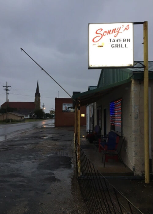
- Virtually every town had a grain silo, water tower, and small church.
- As you pass cars on the highways, they lift a finger from the steering wheel to say hey.
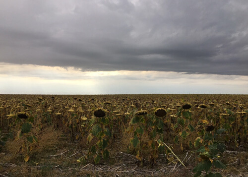
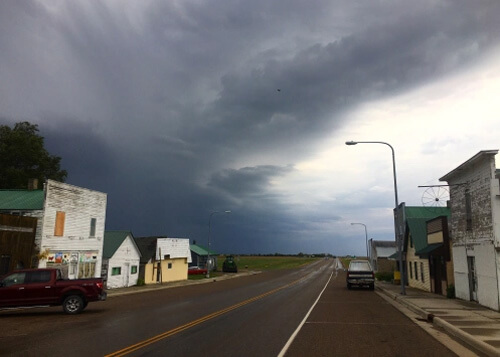
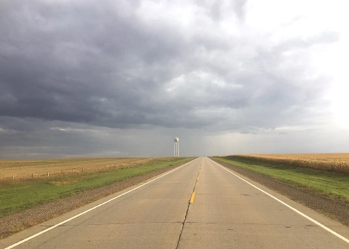
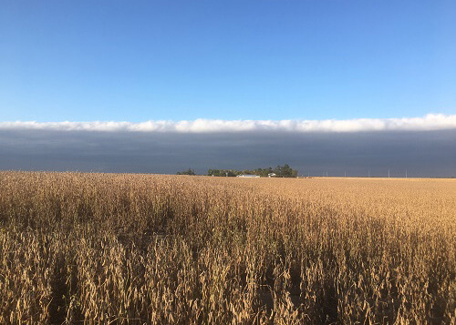
- Some amazing and gargantuan cloud formations, unlike what I typically see in California. At one point, half the sky was covered in a thick dark storm blanket, and the other half was completely clear (photo of Campbell, Nebraska, below).
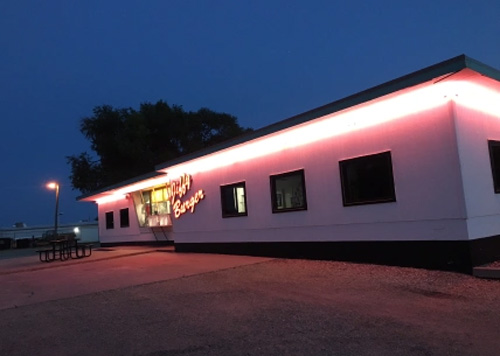
- Many of the towns had none of the chain restaurants you see on the Interstates, and most had a mom and pop burger joint.
- Local radio stations were dominated by the local high school sports team, the latest grain prices (they all syndicate the American Agricultural Network), and local “bulletin boards” – a caller into the local station in Alliance, Nebraska announced he is looking for used lawnmower, and willing to negotiate cash or labor for it.
- The music was a mix of country and rock n roll, but did discover some Troubadour-Americana music I had never heard like The Lost Dog Street Band and The Intuitive Compass.
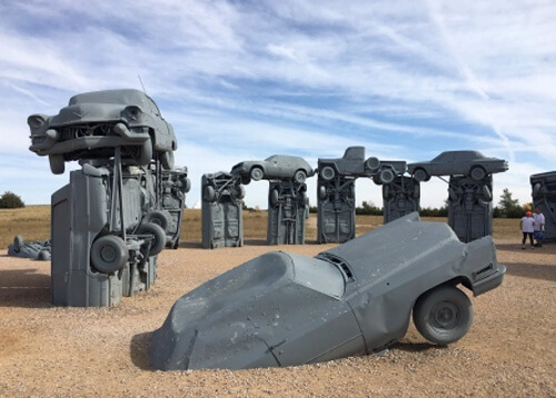
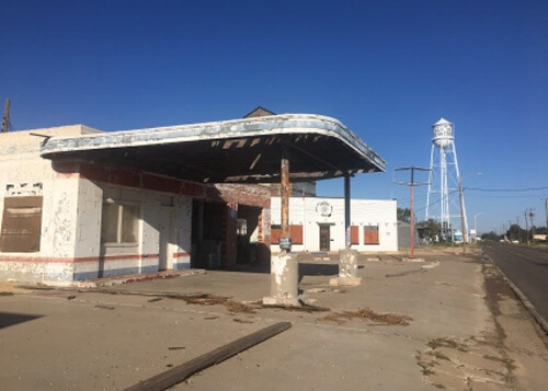
- Three “what the…?” pop art displays had cars standing upright – Carhenge, the VW Slug Bug Ranch and Cadillac Ranch.
Highway 4 near Campbell, Nebraska
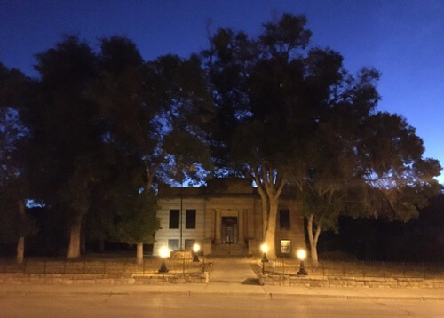
Library in Hot Spring, South Dakota
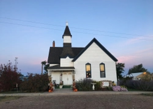
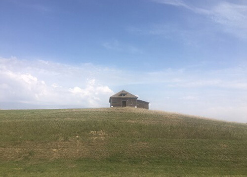
Random house south of Hot Spring, South Dakota
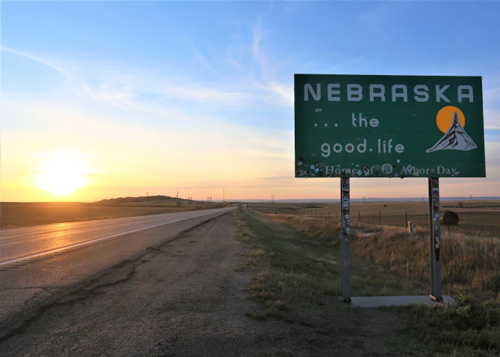
Highway 385, northwest Nebraska stateline
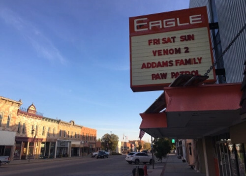
Eagle Theatre (1925), Chadron, Nebraska
Carhenge dedication to Stonehenge, Alliance (pop 8500), Nebraska
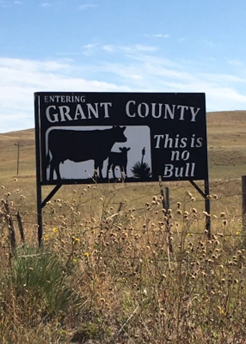
Northwest Nebraska – with 614 people, Grant County is 9th least populated county in the US
Highway 281, Smith County, Kansas
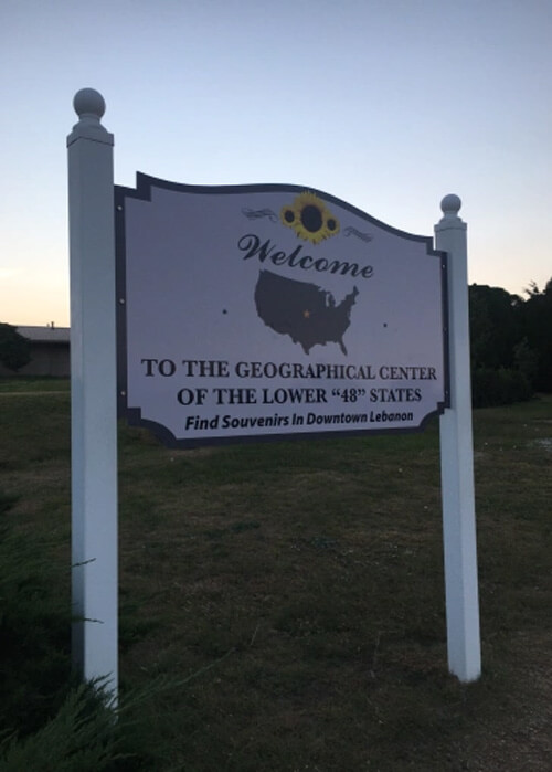
Geological Center of Continental US, Lebanon, Kansas
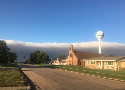
Storm front approaching Campbell, Nebraska
Hays, Kansas
South of Hays, Kansas
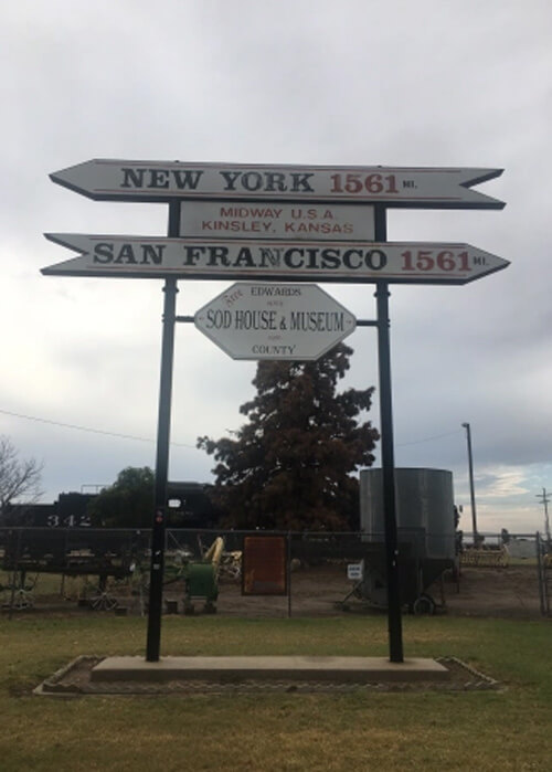
Kinsley (pop. 1500), Kansas
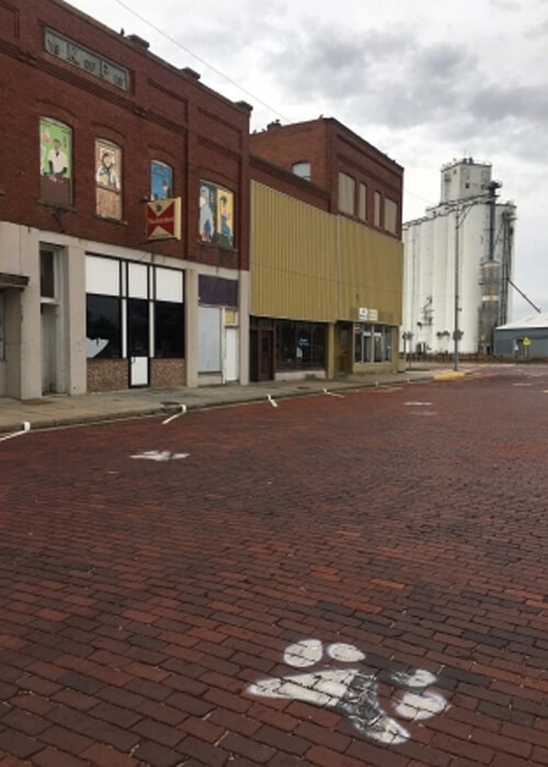
High School team Coyotes paw print, Kinsley, Kansas
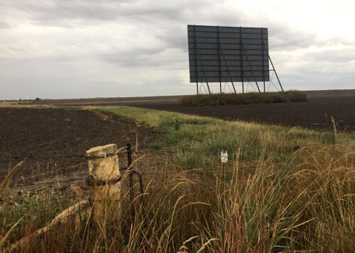
Abandoned drive-in (1953-1973) near LaCrosse (pop. 1300), Kansas, original screen destroyed during tornado in 1966
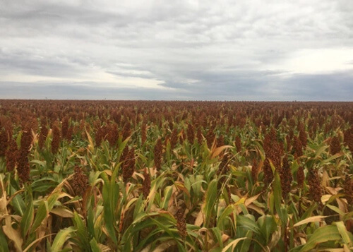
Sorghum crop, Central Kansas
North Oklahoma, near state line
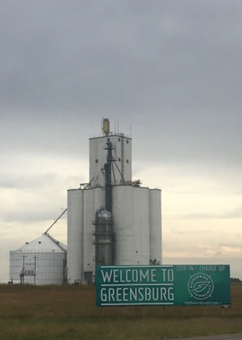
Greensburg (pop. 1500), Kansas
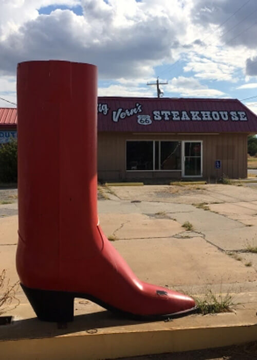
Big Vern’s Steakhouse, Route 66, Shamrock (pop. 2000), Texas
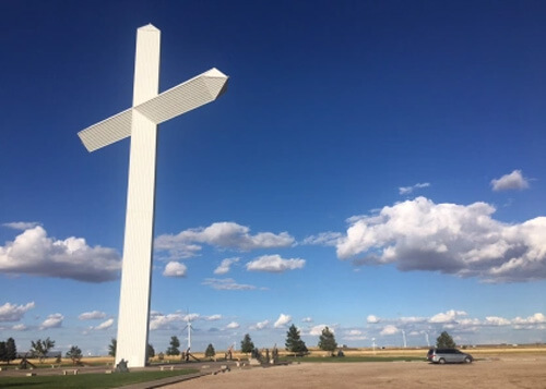
The Groom Cross, Texas off I-40

Cadillac Ranch, Amarillo, Texas off I-40
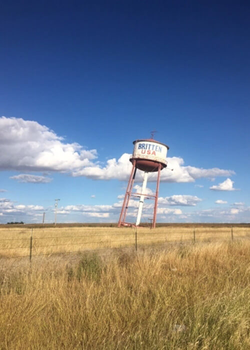
Leaning Tower of Texas near Groom off I-40
Amarillo
I pulled into Amarillo, Texas (the first city with over 100,000 people on the trip) after the extended drive and it turned out to be a perfect stopping point to recharge with a big steak before the final leg of the trip.
The Big Texan is one of those non-negotiable road trip stops that can’t be missed. You may wait an hour for the table, but there are amusements while you wait, like an old-school carnival-like shooting gallery. Once at your table, the entertainment continues. A guitar duo will swing by and play whatever you wish (I requested Johnny Cash and Buck Owens), and the elevated tables with the clocks above them are where you can see brave souls try to put down a 72 oz. porterhouse steak (with all the fixings) for the “free meal” that lures motorists in.
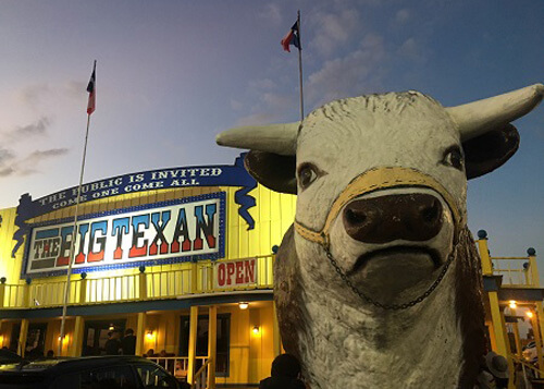
Big Texan, a classic Route 66 stop since 1960
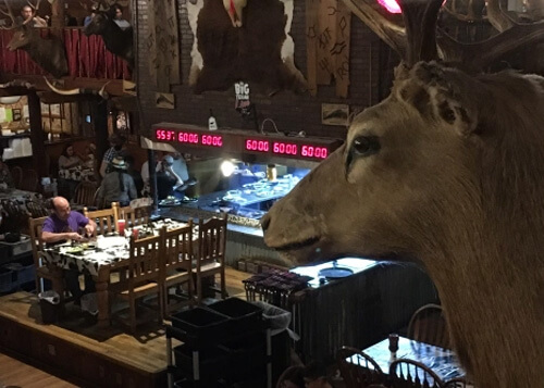
Brave soldier in purple shirt taking on the steak challenge, – the clocks in red show one hour to finish the 72 oz. steak and sides
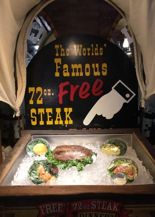
The steak challenge – eat it all, and it’s free
Art inside the Big Texan before…
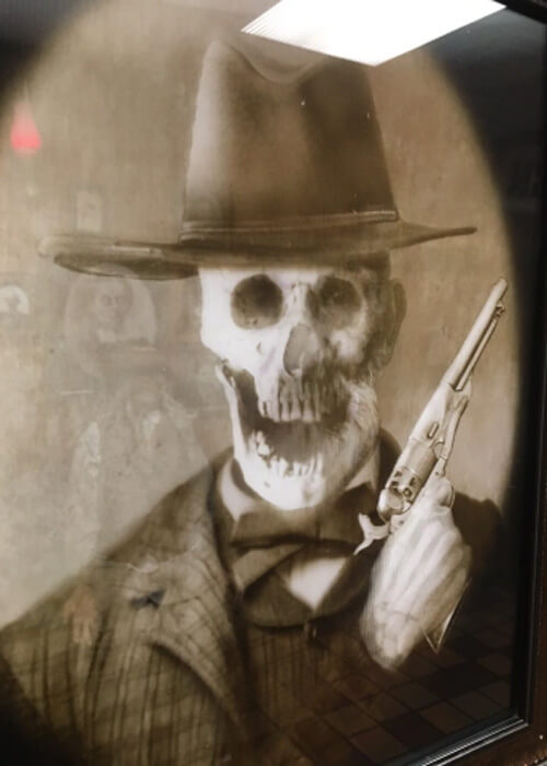
…and after, looking at him sideways
Amarillo to Midland
While South Dakota to Amarillo had some extended sections with repetitive scenery, none of it was as flat, stark and desolate as the drive south from Amarillo to Midland, Texas.
After 250 miles straight south, I arrived in Midland (pop. 170,000), which has experienced rapid growth over the last couple of decades due to its location in the oil rich Permian Basin. For fried catfish and fish tacos, I recommend Clear Springs (located on the 250 Loop). Midland is also home to the Oakland A’s AA Minor League Midland Rockhounds baseball team.
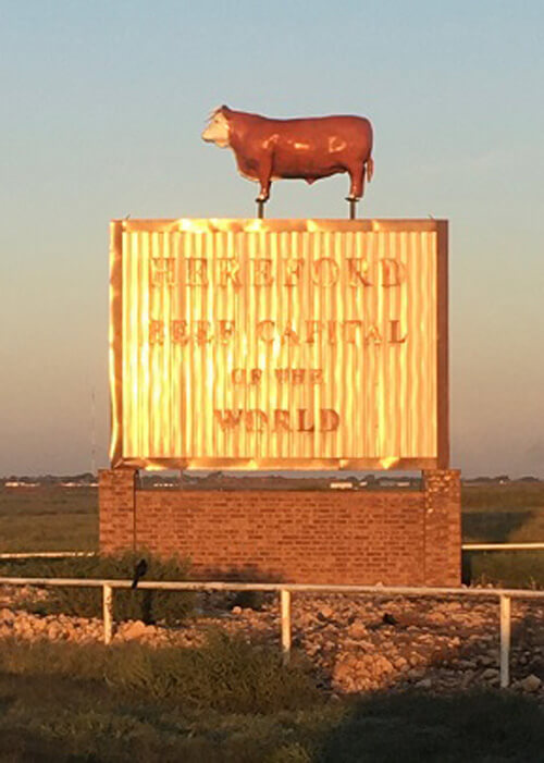
Beef Capital of the World, Hereford, Texas

Dimmitt, Texas
Littlefield, Texas
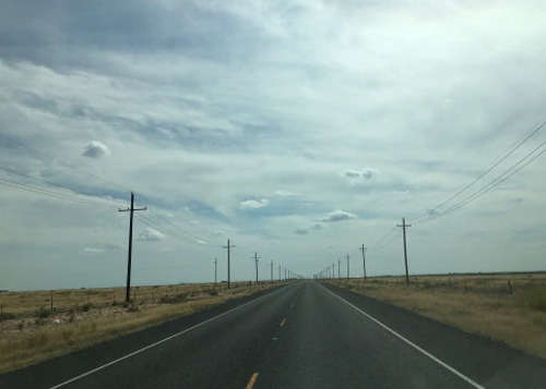
Highway 385 north of Midland, Texas
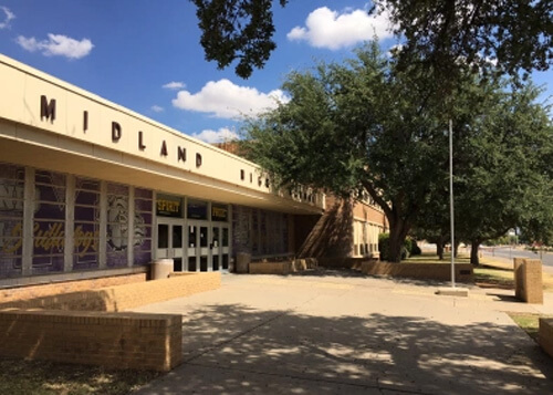
Elvis Performed here in 1955 – Midland High, Texas
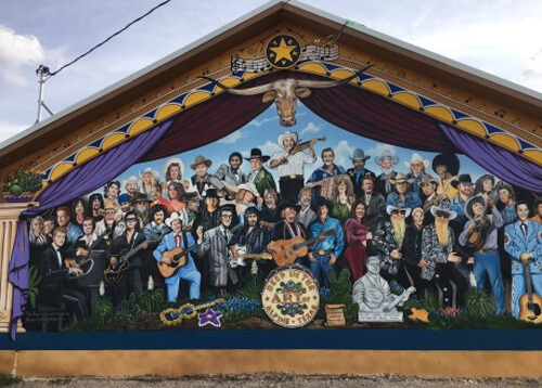
Alpine
After Midland, the driving terrain got more interesting as I headed south into a high plateau in the Chihuahuan Desert towards Alpine (pop. 6000).
Alpine is a desert oasis covered in murals. I wandered around for a couple hours, and found wall-sized paintings on the sides of buildings, alleyways, and dumpsters. The nacho plate at Old Gringo Coffee and Cocktails is something to behold. Don’t miss it. The place was packed and had a biker club inside watching the live country blues and drinking beers.
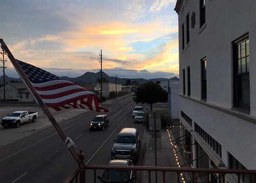
Holland Avenue from the Holland Hotel, Alpine, Texas
Holland Avenue at night – fooling around with exposure settings on my Canon 5D Mark III
Country version of Sgt. Pepper’s album cover mural in Alpine, Texas
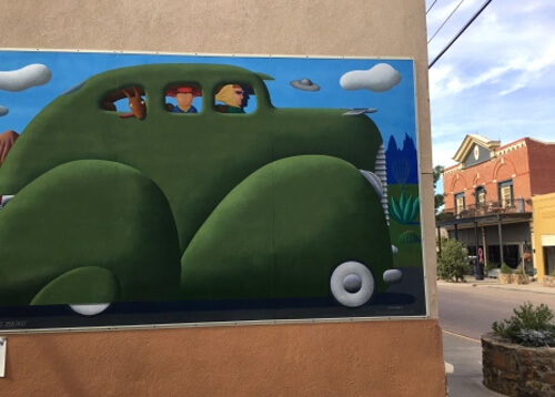
Murals of Alpine, Texas
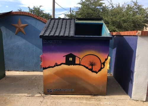
Most stunning garbage dumpster ever – Alpine, Texas
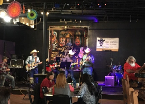
Old Gringo Coffee and Cocktails, Alpine, Texas
Alpine to San Antonio
The film-worthy sunrise drive desert scenery on Highway 67 out of Alpine – with 60’s garage rock blasting – was one of those epic drives that I won’t forget (photo below).
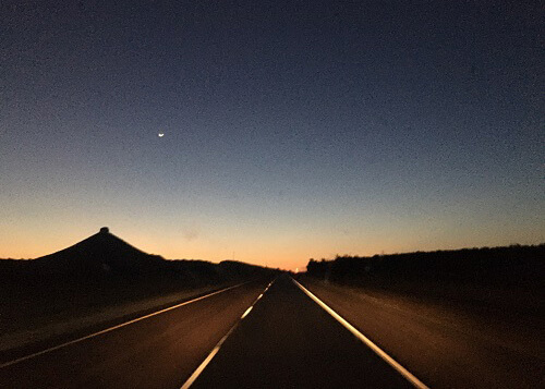
Epic sunrise drive on Highway 67 north of Alpine, Texas
A few hours west nearing San Antonio was my final hike of the trip, Enchanted Rock, a mystical looking rock dome. The local tribes ascribe magical and spiritual powers to the rock, and I can see why. It’s about an hour round-trip to the top (which has great views) and I highly recommend it.
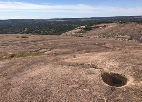
Enchanted Rock, Fredericksburg, Texas
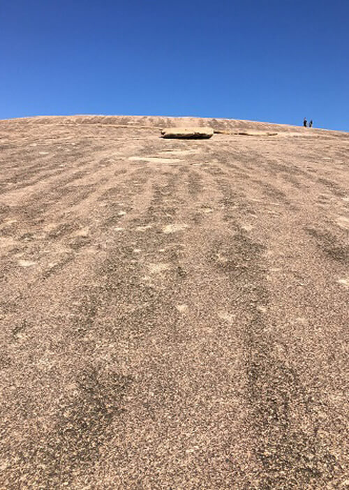
Enchanted Rock, Fredericksburg, Texas
After enchanted rock, it was off to the final destination before the flight back to the Bay Area: The Alamo! Walking away from this historic location, I was very bummed that the final two destinations of the trip were the Hampton Inn and the San Antonio Airport.
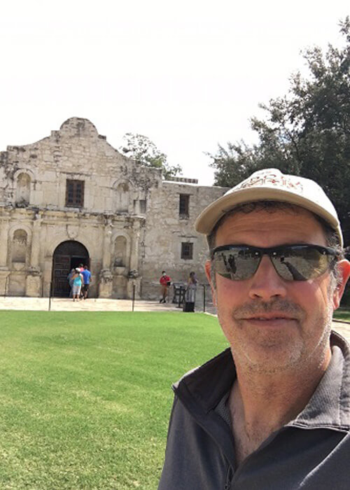
After 2300 miles, I made it to the Alamo!
0 Comments