

Quick Stats
Distance: 200 miles. You could drive from Lone Pine to Death Valley Junction in under 3 hours, but you’d blow by all the good stuff. To see all the recommendations below, plan on a full day.
Recommended time: 1 day
Highlights: Zabriskie Point, Artist’s Drive, Badwater Basin, Badwater Basin, Lone Pine, ghost towns
Main Highway: CA-395, CA-136, CA-190 (turnoffs at Darwin Rd and Panamint Valley Rd)
Lone Pine
Lone Pine is a great starting point for Death Valley, and located a short drive from the west entrance to the park. It has plenty of motels, some great restaurants (like Alabama Hills and Seasons) and the Museum of Western Film History. It is among a string of historic lost-in-time towns on Highway 395, and also a popular lodging stop for those attempting to hike nearby Mt. Whitney, the highest peak in the continental US.
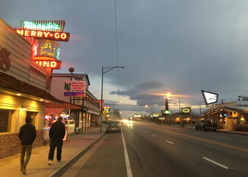
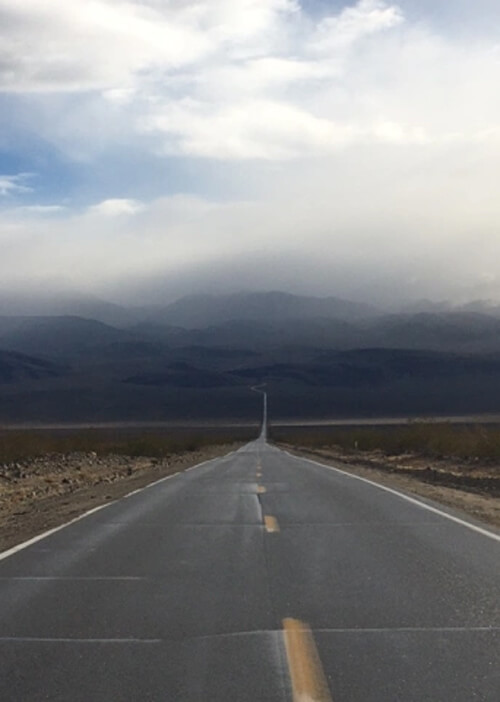
Highway 395, Lone Pine
Darwin
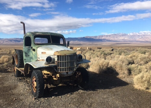
About 40 minutes east of Lone Pine is the old silver mining town of Darwin, which was the subject of a documentary film in 2011. To get here you must turn south off CA-190 onto Darwin Road. If you like exploring lost desert towns, it is worth an hour to check out the abandoned storefronts, rusty cars from fifties and other random stuff.
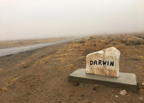
Darwin Road to Darwin
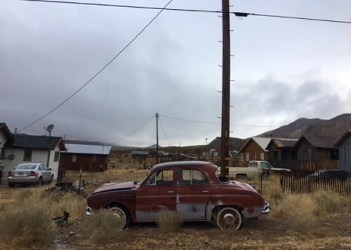
Darwin
Darwin
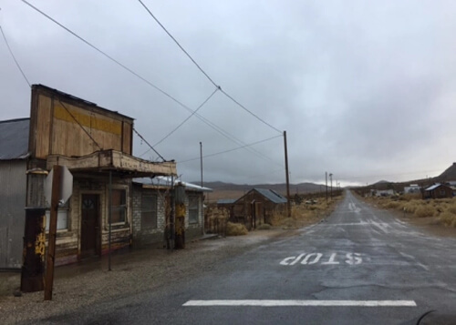
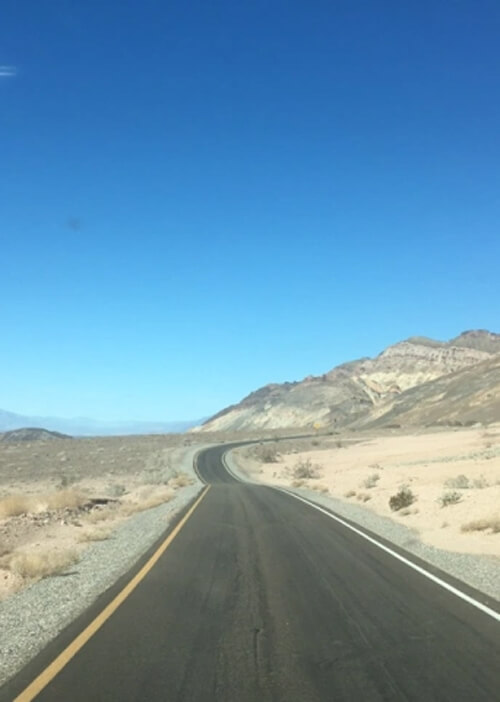
Ballarat
About an hour east of Darwin is the mining supply town of Ballarat. Similar to Darwin, you have to turn off CA-190 to get here (Panamint Valley Road). Though a ghost town, Ballarat does have a tourist shop and one (!) full-time resident. A scene from the 1969 movie Easy Rider was filmed here.
CA-190 en route to Ballarat
Ballarat
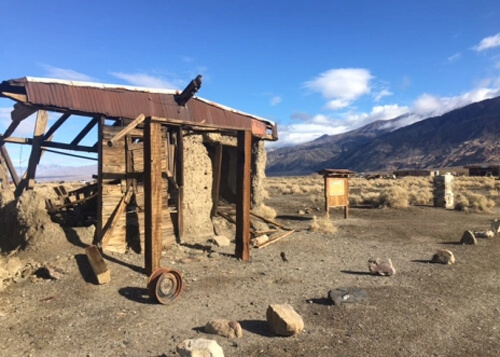
Ballarat
Mesquite Flat Sand Dunes
An hour east from Ballarat is the way-station of Stovepipe Wells (named after a stovepipe that was used to mark a water source), which has a gas station, hotel, saloon and general store. Worth exploring are the nearby Mesquite Flat Sand Dunes, which offer exercise and Instagram photo opps.
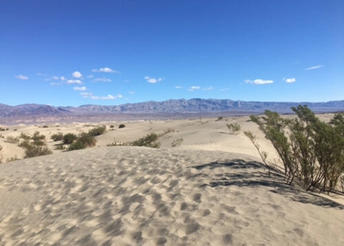
Mesquite Flat Sand Dunes
Badwater Basin
About an hour from the dunes is Badwater Basin. At -282 feet below sea level, it is the lowest point in North America. The flats have an other-worldly feel, like you are on another planet, or at least the moon! On the cliff above the basin is a sign marking “sea level” so you can see how far below you are.
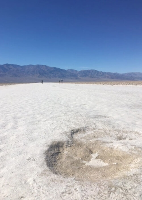
Badwater Basin
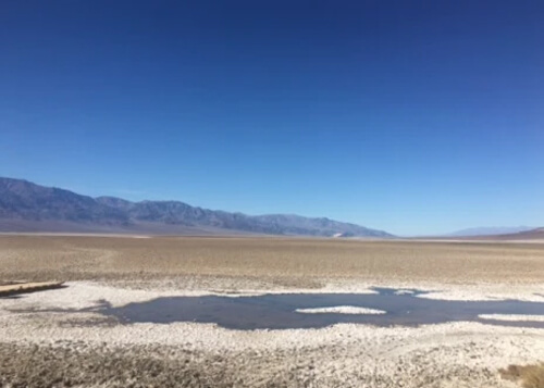
Badwater Basin
Artist’s Drive
On the way back to CA-190 from Badwater Basin (heading north), make sure to turn off at Artist’s Drive. This was one of great surprises of the trip, as I had not heard of it before. The drive is a narrow one-way through some spectacular rock erosion colors (caused by oxidation of various metals in the rocks). There are vista points for photos. Do not miss this turn!
Artist’s Drive
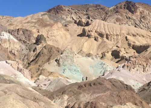
Artist’s Palette
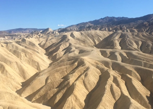
Zabriskie Point
Less than a half hour from Artist’s Drive (back on CA-190) is another masterwork of geology: Zabriskie Point. The Mars-like scenery has been featured in films such as Zabriskie Point and Spartacus and on the cover U2’s classic album The Joshua Tree. It’s a very short walk to the lookout point, and there are also hiking trails to explore.
Zabriskie Point
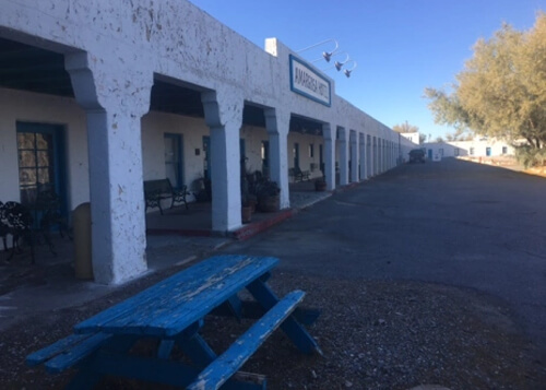
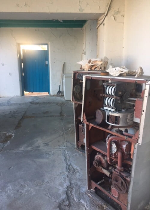
Death Valley Junction
The last stop in Death Valley is Death Valley Junction, which features some decaying buildings and The Amargosa Opera House and Hotel. The hotel and cafe are still operating, but the last opera show was in 2012.
Amagorsa Opera House, Death Valley Junction
Death Valley Junction
After driving through one of the most desolate stretches in the US, it’s hard to believe that Las Vegas is a mere 90 minutes away!
Youtube Video of Trip
Youtube video of sections of Death Valley
0 Comments