

Quick Stats
Distance: 1500 miles
Recommended time: 6-8 days
States: Washington (WA), Idaho (ID), Montana (MT), Wyoming (WY), Utah (UT)
Highlights: Long Beach WA, Lewiston ID, Bozeman MT, Bangtail Divide Trail, Park City mountain biking, Lewis and Clark Highway, lost-in-time towns and road relics
Main Highways: OR-30, OR-101, WA-12, I-82, ID-12, I-90, MT-310, WY-120, WY-28, I-80, U-189
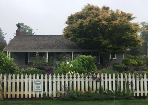
Long Beach, WA
When one hears “Long Beach,” the Southern California beach community usually comes to mind. But you can relax much easier in its southern Washington counterpart (pop. 1500). Part of the Long Beach Peninsula between Willapa Bay and Pacific Ocean, Long Beach Washington has a “main street America” vibe, lined with old fashioned ice cream shops, bakeries, curio shops and American flags hanging from 1950’s style light posts. There’s even a huge 4th of July Parade here every year.
I spent a few days here at my aunt’s beach house, and aside from relaxing, there are three things we checked out I recommend: (1) Cape Disappointment, (2) Oyserville, (3) the beach of Long Beach.

Cottage Bakery – try the cinnamon twists!
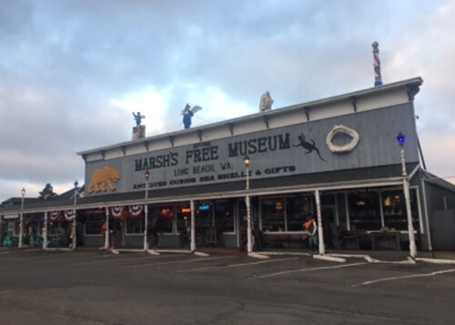
Marsh’s Museum, filled with wacky curios and relics
Long Beach
At 30 miles long, Long Beach claims to be the longest beach in the world. It has a paved trail that goes up to Cape Disappointment and many smaller beach trails. Bald eagles are very common, and can be seen perched on the numerous posts along the beach.
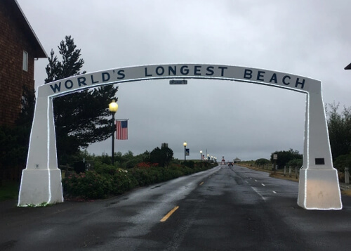
Long Beach entrance way
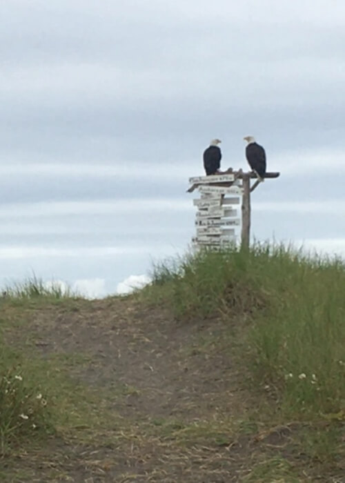
Two bald eagles hanging out on Long Beach

My aunt walking her dog Rocky near Long Beach
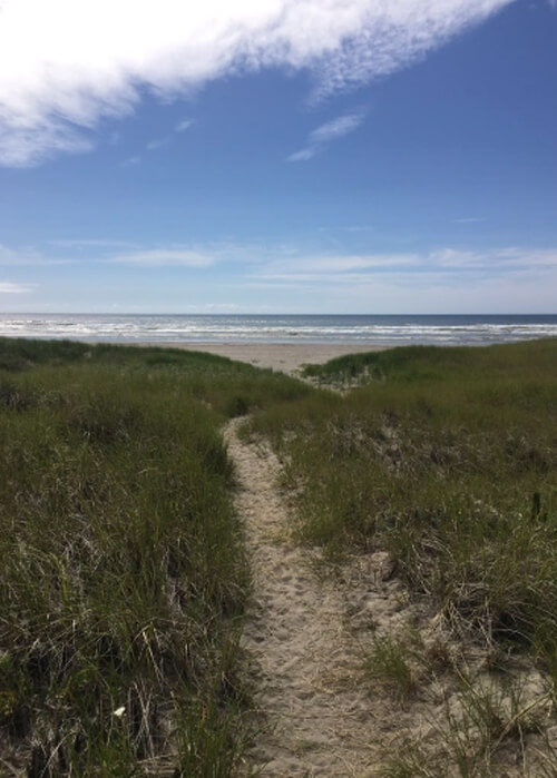
Long Beach
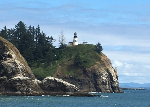
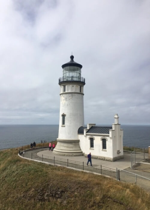
Cape Disappointment
Named in 1788 by English Captain John Meares, when he mistakenly believed that the mouth of the Columbia River was a bay, Cape Disappointment was later rediscovered (along with the Long Beach area) by Lewis and Clark. It has two lighthouses, hiking and biking trails, and incredible views of Pacific. There are also decaying WWII military barracks to explore. With 106 days of fog a year, it is one of the foggiest places in the country.
Cape Disappointment Lighthouse

Cape Disappointment vista point

Cape Disappointment trail
North Head Lighthouse at Cape Disappointment
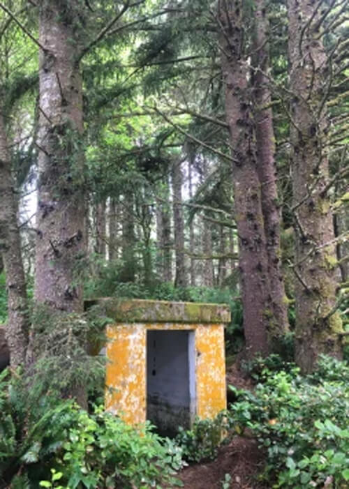
Old military barracks – who knows what’s living in this now?
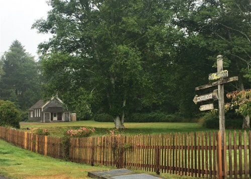
Oysterville
Founded in 1841, the entire town of Oysterville (pop. 20) is a National Historic Landmark. As the name suggests, it is an oyster hub and once provided 40% of America’s oysters. Many of the old homes have plaques on their picket fences giving the build dates. While there, make sure to check out Oysterville Sea Farms – it has a deck overlooking the water for lunch.
Oysterville Schoolhouse (1907)
Oldest house in Oysterville (1863)
Astoria
A half hour south of Long Beach is Astoria, the oldest settlement on the west coast (founded 1811). The drive there down Highway 101 takes you over the Astoria-Megler Bridge (1966), the longest continuous truss bridge in North America. Astoria began as a fur trading post, but it’s more recent claim to fame is the filling location for the 1980’s movie The Goonies, and signs are posted all throughout town showing filming locations. The town has a rustic and gritty feel (like many coastal Oregon towns such as Coos Bay and Gold Beach), with many weathered buildings from yesteryear and down ‘n out dive bars.
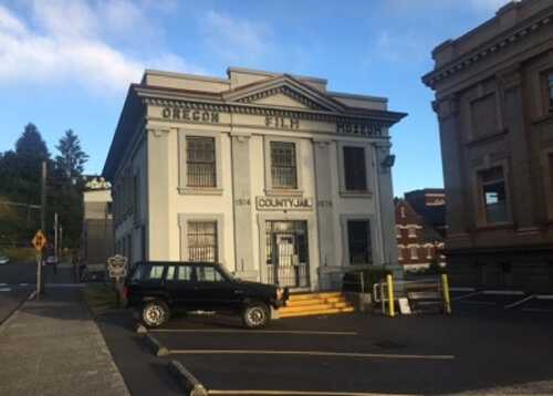
Old Clatsop County Jail (1914) and Goonies film location (now Oregon Film Museum)
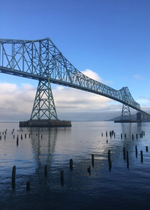
Astoria-Megler Bridge (1966)
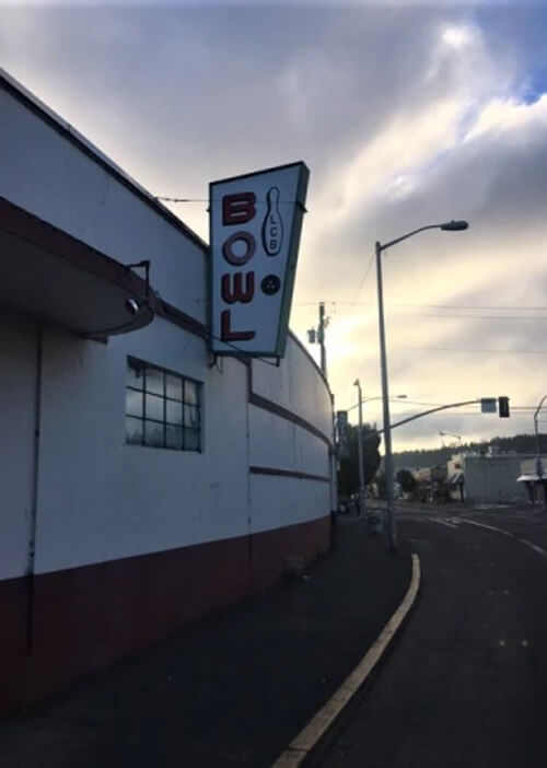
70’s style bowling alley in downtown Astoria
Zillah
After checking out Astoria for an hour, an all day drive was ahead to the night’s destination: Lewiston, Idaho. Aside from miles of low rolling hills and gain silos, I came to my grandma’s hometown of Zillah Washington (pop. 3000) to check out the Teapot Dome, a well known landmark in the area which doubles as Zillah’s Visitor Center. Built in 1922, it was inspired by the infamous Teapot Dome Scandal of 1921.
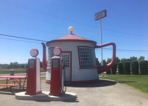
Teapot Dome, Zillah, Washington (pop. 3000)
Lewis and Clark Road
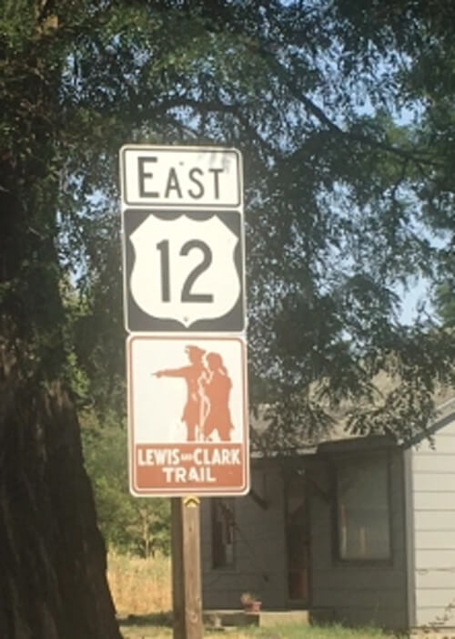
Lewis and Clark Trail
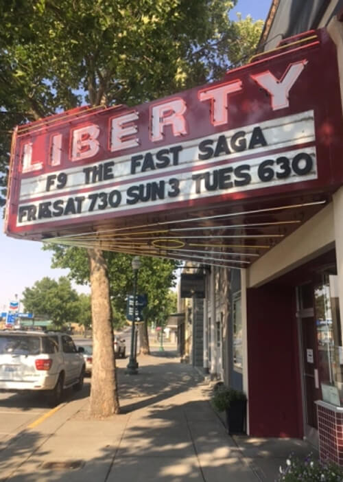
Liberty Theatre (1910), Dayton, Washington (pop. 2500)
Approaching Lewiston
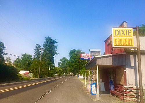
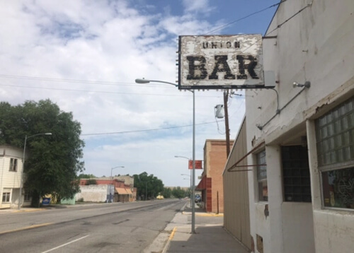
Dixie, Washington (pop. 200)
Highway 12 Washington towards Lewiston
Lewiston
Founded as a mining town in 1861, Lewiston (pop. 25,000) was the first capitol of the Idaho Territory until it was moved to Boise in 1864. After mining died out, Lewiston’s main industries became timber and agriculture. Sitting at the confluence of the Clearwater and Snake Rivers, a walking path along Snake River Avenue is a great place to walk along the river and get photos at sundown. Like many of the towns on this road trip, it has vibe from decades past (the 1950’s comes to mind), with many rustic (yet well kept) buildings and a small town America vibe.
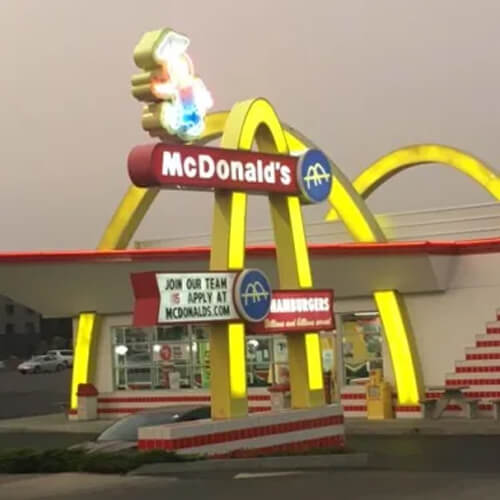
A town that revels in American nostalgia, this Lewiston McDonalds was built in 2021, but has a throwback look with the 1950’s tiles, arches and “Speedee,” – original mascot was replaced with Ronald McDonald in 1967
Gunpowder Ridge Trail, Hell’s Gate State Park, Lewiston
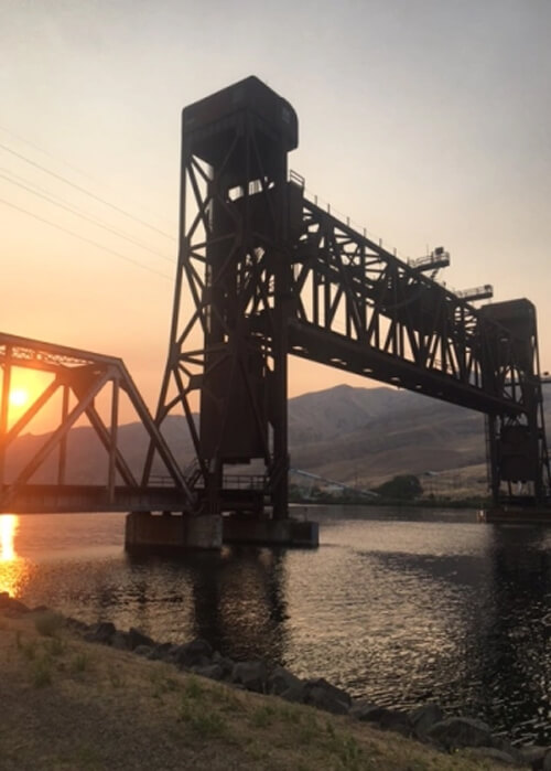
Lewiston Vertical Lift Railroad Bridge (1906)
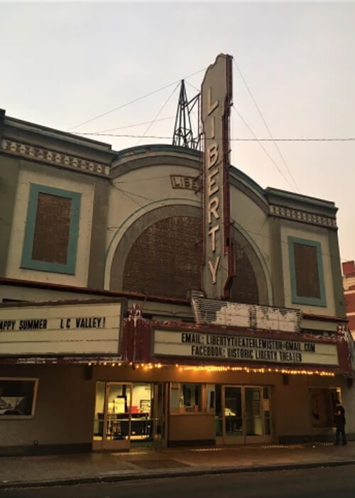
Liberty Theatre (1921)
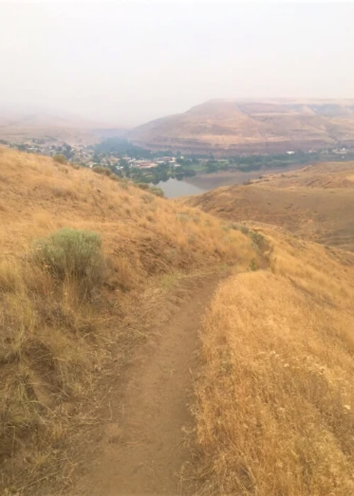
Devil’s Slide Trail at Hell’s Gate State Park overlooking Lewiston
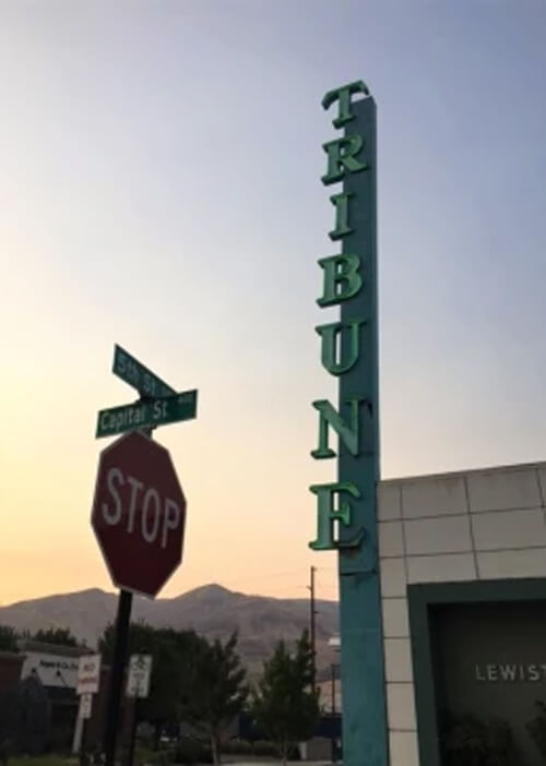
Retro Tribune sign at sundown, Lewiston
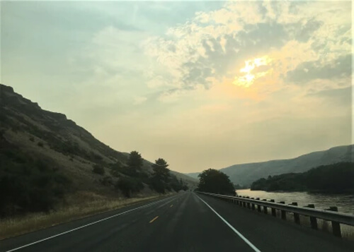
Nez Pierce Valley to Helena
The drive out of Lewiston on Highway 12 is one of those epic drives I won’t forget anytime soon. Running alongside the Clearwater River, it winds through the Nez Perce Valley with some spectacular riverside views before entering the Nez Perce Forest after crossing into Montana. Before arriving in Bozeman for my next stay, I had some time to burn and drove east from Missoula to Helena, the state capitol, to drive through the town and get some photos of the capital.
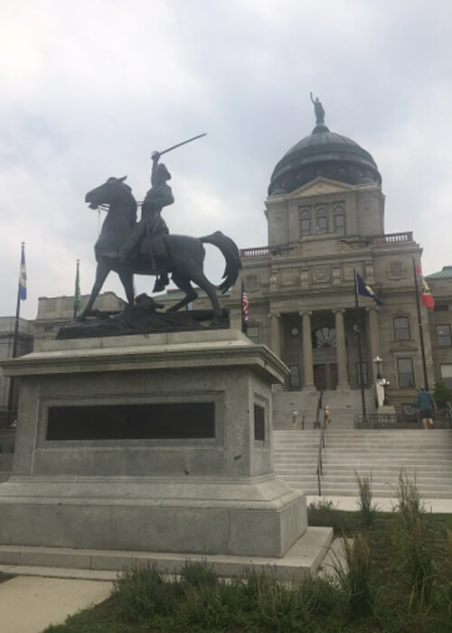
State Capitol of Montana in Helena (1896)
Highway 12 (Lewis and Clark Highway) east of Lewiston along Clearwater River
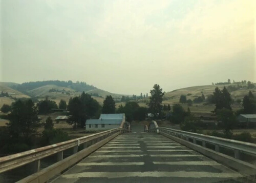
Lenore, Idaho
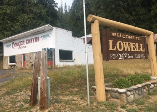
Population adjusted on Lowell sign
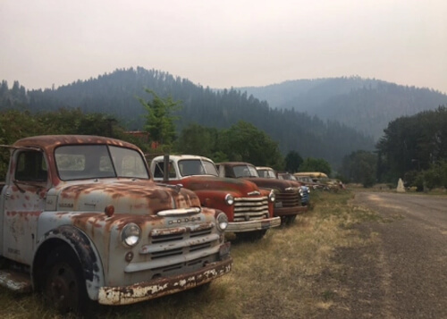
Vintage trucks near Lowell, Idaho
Bozeman
After Helena, I arrived in Bozeman. The entire day was spent on the nearby Bangtail Divide Trail, one of those trails that gets on those “10 epic mountain bike trails in the US” lists. Turns out, it was worth the hype – a very fun (and challenging) singletrack trail with incredible views. I came across a few friendly hikers and bikers, but for much of the time I was in peaceful (and huffing and puffing) solidarity.
Near Bangtail Divide Trail, Bozeman
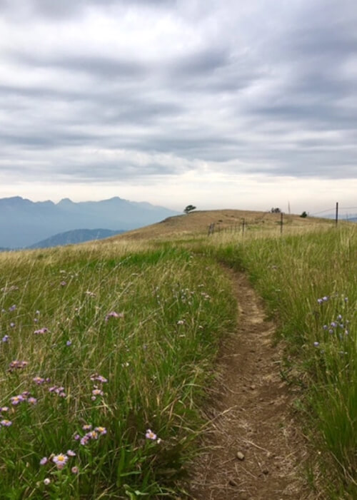
Bangtail Divide Trail, Bozeman
Another section of Bangtail Divide Trail, Bozeman
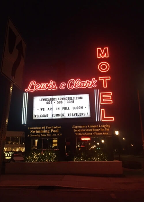
After the ride, I hit a great steakhouse called The Mint in Belgrade (ranked one of the best in area), a small town 15 miles west of Bozeman. After dinner I got some night photos of retro hotels in Bozeman, and in keeping with a theme of the trip, one of best neon signs was for a motel called the Lewis & Clark, which leads to first stop the following day…
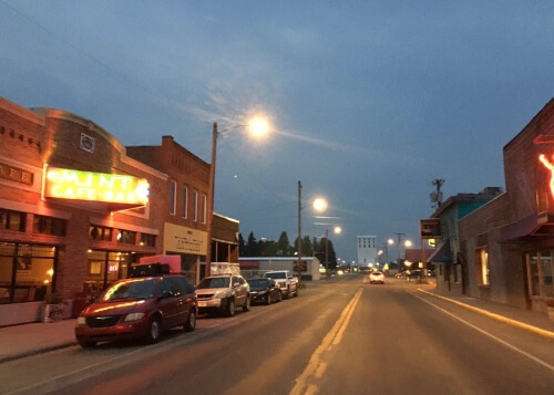
Belgrade, Montana near Bozeman – try Mint Cafe Steakhouse
Bozeman, Montana
Pompey’s Pillar National Monument and Billings
After Bozeman, I reached the most eastern point on the road trip – Pompey’s Pillar National Monument. After driving Lewis and Clark Highway and seeing various Lewis and Clark statues on the trip so far, it was fitting the final stop east would be a dedication to Lewis & Clark – and it is probably the most monumental of them all: Clark left his signature partway up a 150 foot tall rock formation while stopping for a rest here in 1804, and a short walk takes you to the rock signature. There is also an interpretive visitor center and a trail that goes to the nearby Yellowstone River.
After seeing the monument, I drove around the outskirts of Billings for a couple photos before meeting friends there for dinner.
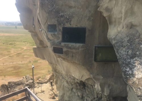
Clark’s signature is in frame at far right at Pompey’s Pillar National Monument
Backroads north of Billings
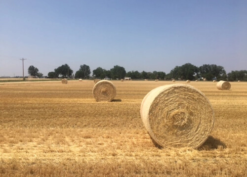
Near Billings, a common site in Montana
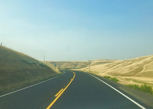
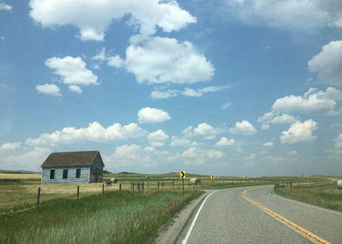
Southern Montana and Wyoming
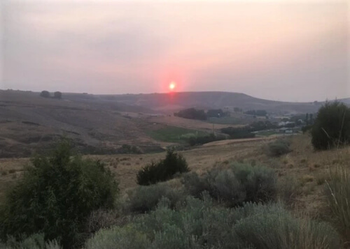
After Billings, the final leg of the trip began towards Park City Utah. Leaving at crack of dawn, which I typically do on road trips, I headed south on rural highway 310. Before reaching Wyoming, I came across an incredible sunrise on some backroads near Edgar:
Getting to Park City in a day requires driving through the state of Wyoming, and it was scenic and relaxing (especially if you’re used being surrounded by glass and concrete in your daily life). Probably best called a “country road blitz” through Wyoming, I didn’t hit any of the major spots Wyoming is known for – Yellowstone, Jackson Hole, Grand Tetons, etc. But that was part of the plan – to go where the masses aren’t.
I thoroughly enjoyed Wyoming’s off-the-beaten path – the dusty small towns with turn-of-century Main Streets, the rock formations dating back hundreds of millions of years, the beautiful mountain scenery, and one stop that was merely a sign: The Continental Divide. Small rustic towns I drove through include Thermopolis, Opal, Hudson and Kemmerer.
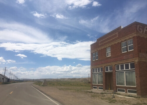
Farm near Kemmerer (pop. 2600)
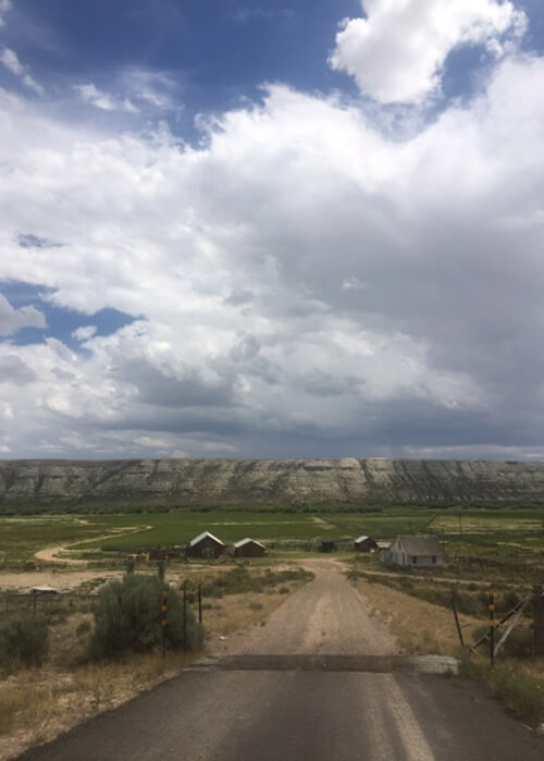
Somewhere in Wyoming
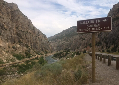
Rock from Cambrian period and Bighorn River, northern Wyoming
Hudson, Wyoming (pop. 450)
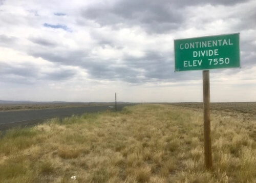
Continental Divide, near South Pass
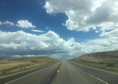
Near Opal, Wyoming (pop. 100)
Park City
By far the most touristed city I visited on this trip with over 4 million tourists a year, Park City (pop. 7500), is known for its ski resorts (hosting Winter Olympics in 2002) and Sundance Film Festival. It’s part vintage mining town (64 buildings are listed on National Register of Historic Places) and part ski resort party zone. You can’t miss Main Street, with all it’s restaurants, bars, shops and nightlife.
I hit the mountain bike trails at Park City Mountain (Jenni’s Trail and Tommy Two Step were favorites), which cut through Aspen trees with smooth flow and epic views of Park City. I recommend getting near the top at sunrise! It was part way up at the first lift landing that I came across a true icon from the town’s history – The Silver King Mine. Opened in 1892 and closed in 1953, it helped build the town with its profits until the fall of metal prices in the 1950’s.
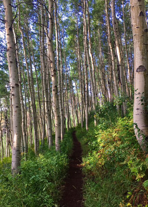
Jenni’s Trail, Park City Mountain
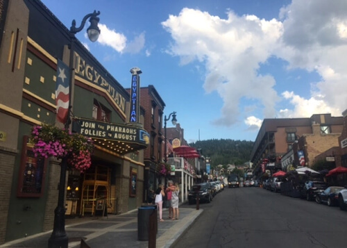
Main Street, Park City, Utah
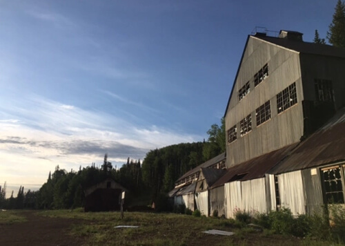
Silver King Mine (1892)
The Road Home
Though I’ll be driving home to the Bay Area through Nevada, it will be an I-80 blitz without many stops aside from Chevron Stations and Carl’s Jr. Nevada, with its fascinating old west mining history and UFO conspiracy locations like Area 51, will be an upcoming post! (I covered some of Nevada in this travel story at ScottStoll.com).
0 Comments